Amendments to the Royal National Park, Heathcote National Park and Garawarra State Conservation Area Plan of Management (2010)
The Royal National Park, Heathcote National Park and Garawarra State Conservation Area Plan of Management was adopted by the Minister for the Environment in 2000. The Minister for Climate Change and the Environment adopted these amendments to the plan on 15 September 2010 in relation to leases and licences.
Publisher: Department of Environment, Climate Change and Water
Cost: Free
Language: English
ISBN: 978-1-74232-956-7
/
ID: DECCW20100831
File: PDF 49.29 KB / Pages 6
Name: royal-heathcote-national-parks-garawarra-plan-of-management-amendments-.pdf
This amendment should be read in conjunction with the Royal National Park, Heathcote National Park and Garawarra State Conservation Area Plan of Management (2000).
Maps
- Map 1 Audley (PDF 165KB)
- Map 2 Bonnie Vale (PDF 146KB)
- Map 3 Wattamolla (PDF 766KB)
- Map 4 Garie (PDF 54KB)
- Map 5 Warumbul (PDF 52KB)
- Map 6 Waterfall and Gunjulla picnic areas (PDF 536KB)
- Map 7 Upper Causeway and Red Cedar Flat (PDF 109KB)
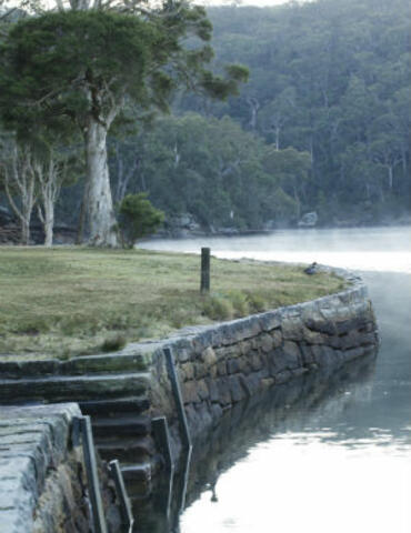
Photo: Hacking River Audley, Royal National Park / Simone Cottrell/OEH