Paroo-Darling National Park and State Conservation Area Plan of Management
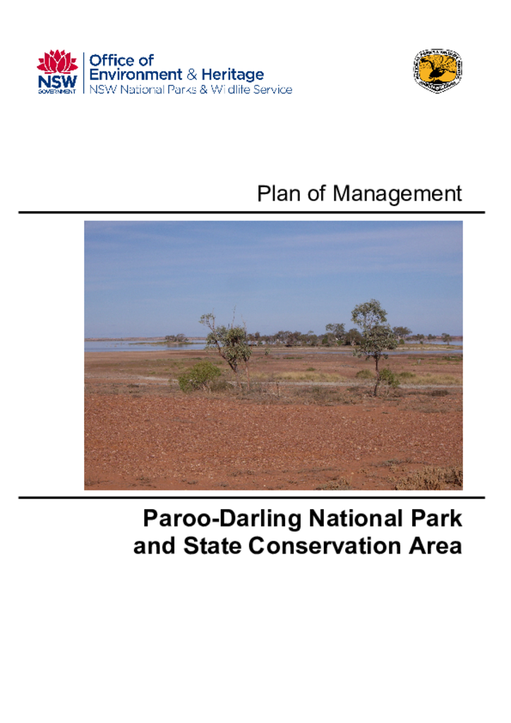
Paroo-Darling National Park contains the wetlands of the Paroo River overflow, including semi-permanent freshwater lakes, which are listed as Ramsar Wetlands under the Convention on Wetlands of International Importance. These wetlands support an abundant and diverse waterbird community.
They also contain artesian mound springs. These are a highly restricted landform in Australia and listed as an endangered ecological community. They form the largest active spring complex in New South Wales, are the only known springs in New South Wales that are on a lakebed, and are the only examples protected within the New South Wales reserve system.
A number of other threatened plant species and communities are also present in the park and state conservation area, as well as a range of threatened animal species.