About the bioregion
The Nandewar Bioregion lies in northern New South Wales and across the Queensland border. The bioregion is bounded by the North Coast, New England Tablelands and Brigalow Belt South bioregions in the south, east and west respectively.
Part of the MacIntyre, Gwydir and Namoi catchments are located in the Nandewar bioregion and the Peel, Macdonald, McIntyre, Namoi, Severn and Gwydir rivers flow through it.
The Nandewar bioregion is mostly fairly warm and dry, although average annual temperatures and rainfall vary considerably across the bioregion in relation to elevation.
The bioregion is characterised by box woodlands that occur on clay or loam soils, typically at low to mid elevation in agriculturally productive areas. With decreasing soil fertility and increasing topographic relief, the box woodlands are replaced by ironbark or cypress pine communities, which characterise much of the agriculturally less productive parts of Nandewar.
A small proportion of the NSW part of the Nandewar bioregion is managed under various conservation regimes, with the majority being national parks and nature reserves. There are some state forests in the region.
Read Chapter 12, the Nandewar Bioregion, in Bioregions of New South Wales: Their biodiversity, conservation and history for more information.
Bioregion area
- 2,701,977 hectares in total
- 2,072,816 hectares in New South Wales
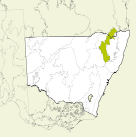
Map showing the Nandewar bioregion
Parks, reserves and conservation areas
This bioregion includes:
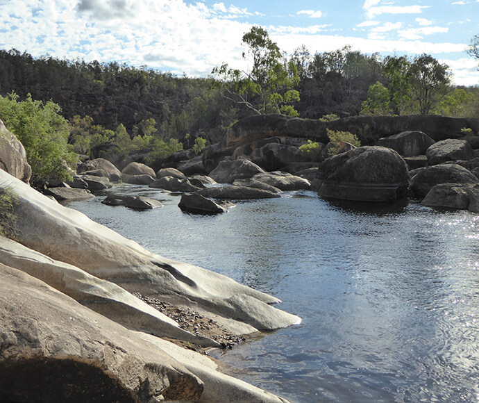
Gorge, Kwiambal National Park 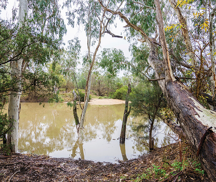
Macintyre River, Kwiambal National Park 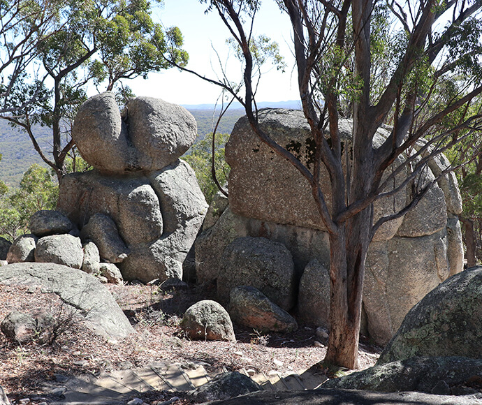
Boulders, Torrington State Conservation Area 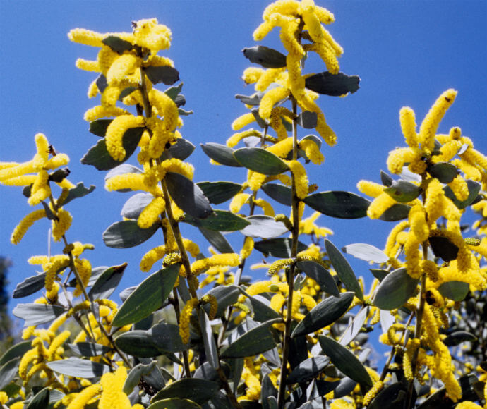
Velvet wattle (Acacia pubifolia) 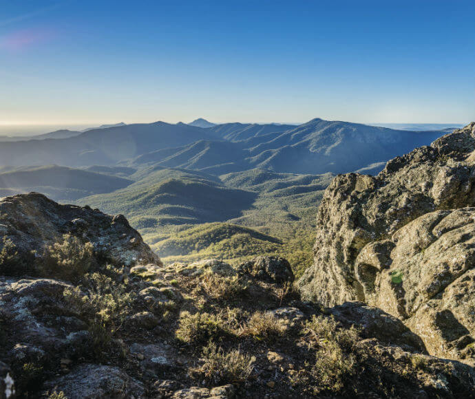
Mount Kaputar National Park 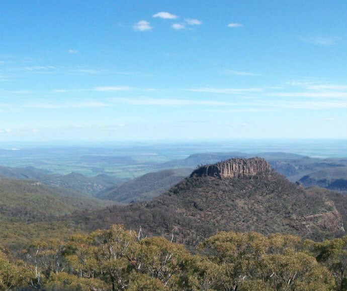
Doug Sky lookout, Mount Kaputar National Park 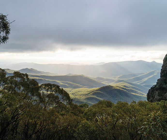
A light dusting of snow lines the vegetation around West Kaputar Rock Lookout in winter