Nadgee Lake is located on the far south coast of New South Wales. It is classed as a back-dune lagoon with an intermittently closed entrance.
This estuary is recognised as near pristine because of its protection and isolation deep within Nadgee Nature Reserve. It is the southernmost estuary in New South Wales.
Water quality report card
As part of our water quality monitoring program we assess the water quality and ecosystem health of an estuary using a range of relevant indicators. We sample a subset of the estuaries between Wollongong and the Victorian border every 3 years. The most recent sampling in Nadgee Lake was completed over the 2020–21 summer, when 2 sites were sampled on a monthly basis.
This report card represents 2 water quality indicators that we routinely measure: the amount of algae present and water clarity. Low levels of these 2 indicators equate with good water quality.
Algae
Water clarity
Overall grade
The report card shows the condition of the estuary was excellent with:
- algae abundance graded excellent (A)
- water clarity graded excellent (A)
- overall estuary health graded excellent (A).
Grades for algae, water clarity and overall are represented as:
- A – excellent
- B – good
- C – fair
- D – poor
- E – very poor.
Go to estuary report cards to find out what each grade means, read our sampling, data analysis and reporting protocols, and find out how we calculate these grades.
We have monitored water quality in Nadgee Lake since 2009. This table shows the water quality grades for this estuary over that time.
| Year | Algae | Water clarity | Overall grade |
|---|---|---|---|
| 2008–09 | B | C | B |
| 2009–10 | B | C | C |
| 2010–11 | B | B | B |
| 2011–12 | A | B | B |
| 2012–13 | A | A | A |
| 2013–14 | A | A | A |
| 2014–15 | A | B | B |
| 2015–16 | A | A | A |
| 2016–17 | A | B | A |
| 2017–18 | B | B | B |
Physical characteristics
| Estuary type | Back-dune lagoon |
|---|---|
| Latitude (ºS) | –37.47 |
| Longitude (ºE) | 149.97 |
| Catchment area (km2) | 13.7 |
| Estuary area (km2) | 1.2 |
| Estuary volume (ML) | 1090 |
| Average depth (m) | 0.9 |
Notes: km2 = square kilometres; m = metres; ML = megalitres.
Water depth and survey data
Bathymetric and coastal topography data for this estuary are available in our data portal.
Land use
The entire catchment of Nadgee Lake is undisturbed forest within Nadgee Nature Reserve.
National and marine parks
- This estuary is situated within Nadgee Nature Reserve.
- This estuary does not flow into a marine park.
Community involvement
- The National Parks and Wildlife Service offers ways for volunteers to get involved in environmental and educational projects in our coastal national parks and reserves.
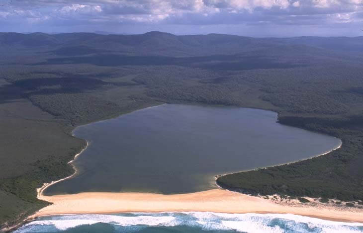
Aerial view of Nadgee Lake estuary.
Local government management
Local councils manage estuaries within their area unless the estuary is attached to a marine park. Bega Valley Shire Council manages this estuary.
Threatened species
The pristine heathland around Nadgee Lake estuary provides critical habitat for the endangered eastern bristlebird.
Find out more about the biodiversity in our estuaries.