South West Rocks Creek is situated on the New South Wales mid-north coast between the township of South West Rocks and the Macleay River. The entrance to the estuary is trained and open to the sea. It is classed as a small coastal lake.
Water quality report card
As part of our water quality monitoring program we assess the water quality and ecosystem health of an estuary using a range of relevant indicators. We sample a subset of the estuaries located between the Queensland border and Taree every 3 years. The most recent sampling in South West Rocks Creek was completed over the 2009–10 summer, when 2 sites were sampled on a monthly basis.
This report card represents 2 water quality indicators that we routinely measure: the amount of algae present and water clarity. Low levels of these 2 indicators equate with good water quality.
Algae
Water clarity
Overall grade
The report card shows the condition of the estuary was good with:
- algae abundance graded excellent (A)
- water clarity graded fair (C)
- overall estuary health graded good (B).
Grades for algae, water clarity and overall are represented as:
- A – excellent
- B – good
- C – fair
- D – poor
- E – very poor.
Go to estuary report cards to find out what each grade means, read our sampling, data analysis and reporting protocols, and find out how we calculate these grades.
Physical characteristics
| Estuary type | Lake |
|---|---|
| Latitude (ºS) | –30.88 |
| Longitude (ºE) | 153.04 |
| Catchment area (km2) | 3.7 |
| Estuary area (km2) | 0.9 |
| Estuary volume (ML) | 653.9 |
| Average depth (m) | 0.8 |
Tidal exchange volume
Tidal exchange volume or tidal prism data is available for this estuary. This tidal prism was measured in 1977.
| Tide state | Flow (ML) | Local tidal range (m) | Sydney Harbour tidal range (m) |
|---|---|---|---|
| Ebb flow | 310 | 1.17 | 1.2 |
| Flood flow | 190 | 0.9 | 0.9 |
Notes: km2 = square kilometres; m = metres; m3 = cubic metres; ML = megalitres.
Water depth and survey data
Bathymetric and coastal topography data for this estuary are available in our data portal.
Land use
About three-quarters of the South West Rocks Creek catchment is vegetated. In the other quarter of the catchment, land is used for urban areas of South West Rocks, including roads, a caravan park and dune disposal site for effluent from the sewage treatment plan.
National and marine parks
- There are no conservation areas in the South West Rocks Creek catchment.
- This estuary does not flow into a marine park.
Community involvement
- South West Rocks Dune Care is a volunteer group working to conserve, protect and restore the environment South West Rocks.
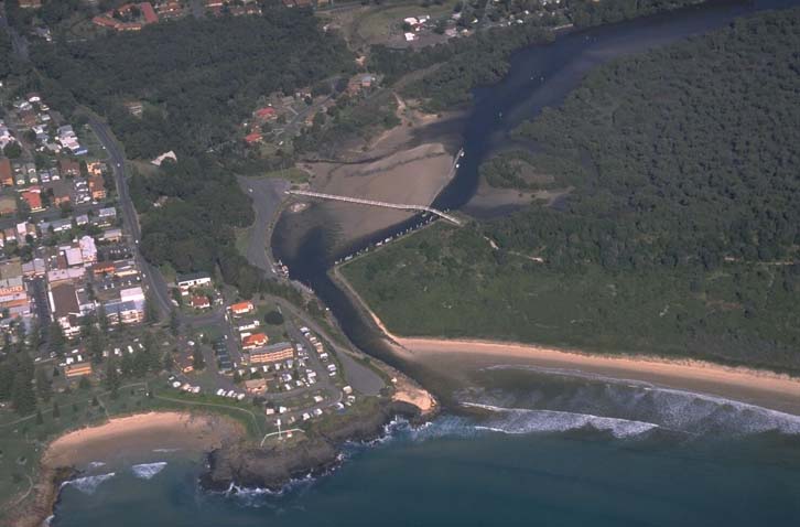
Aerial view of South West Rock Creek estuary.
Local government management
Local councils manage estuaries within their area unless the estuary is attached to a marine park. South West Rocks Creek is managed by Kempsey Shire Council and information about its estuary can be found on the council's Coast, estuaries and wetlands webpage.
Threatened species
South West Rocks Creek estuary supports endangered ecological communities of coastal saltmarsh.
Find out more about the biodiversity in our estuaries.