Yanga National Park, Yanga State Conservation Area and Yanga Nature Reserve Plan of Management
The parks are in the traditional Country of the Wathi Wathi, Daddi Daddi, Mutthi Mutthi and Nari Nari Aboriginal peoples. They are important in protecting part of a rich cultural landscape which includes significant Aboriginal cultural heritage as well as shared heritage associated with the former 160-year-old Yanga Station.
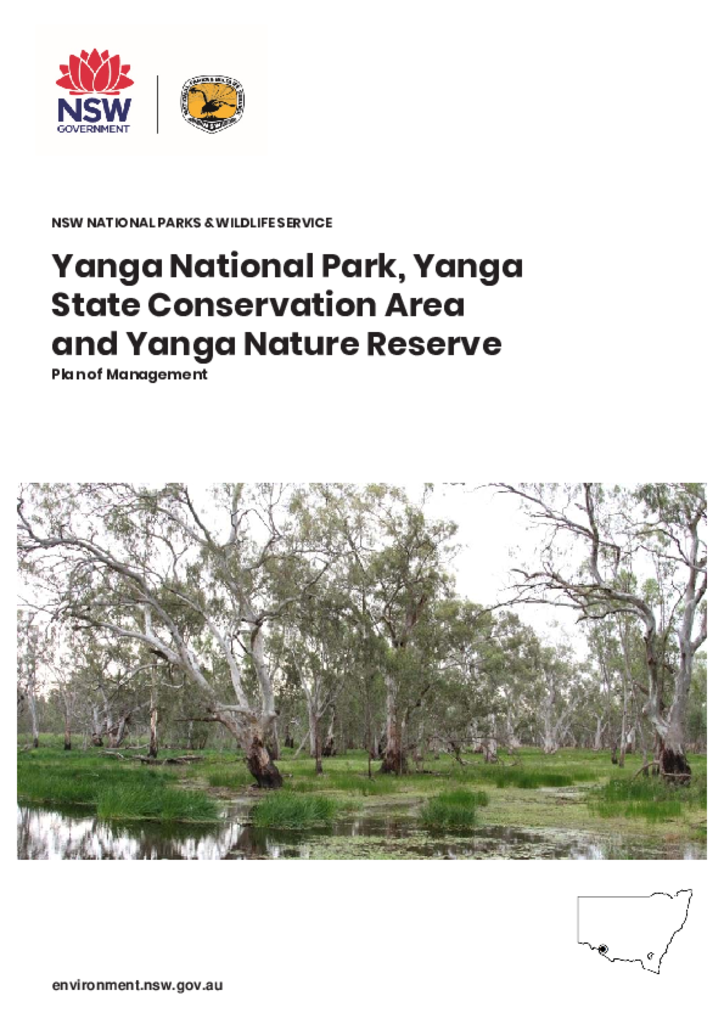
The Yanga parks protect significant vegetation and landscape types within the largely cleared Riverina bioregion, that are poorly represented in the reserve system at a national and state level. These include part of the third largest contiguous stand of river red gum forest in Australia. A range of threatened species are also found there.
As well as providing a scenic open-air museum, the Yanga parks provide for boating and fishing, camping and birdwatching. These parks were not impacted by the 2019–20 bushfires.
This is the first plan of management for these parks.
