About the bioregion
The NSW South Western Slopes Bioregion is an extensive area of foothills and isolated ranges comprising the lower inland slopes of the Great Dividing Range extending from north of Cowra through southern New South Wales into western Victoria.
The bioregion extends from Albury in the south to Dunedoo in the northeast.
The climate is mainly sub-humid with hot summers and no dry season. A temperate climate occurs at higher elevations along the eastern boundary of the bioregion. Rainfall varies from 1,200 mm in the east to 400 mm in the west.
BirdLife International has identified a large area as an Important Bird Area as it supports wintering populations of the endangered swift parrot and most of the largest population of superb parrots. There are several other threatened species of animals and plants in this bioregion.
There are many national parks and nature reserves, and 2 historic sites. Conservation agreements are place with several landholders via stewardship agreements.
The bioregion includes parts of the Murray, Murrumbidgee, Lachlan and Macquarie River catchments.
Read Chapter 10, the South Western Slopes bioregion, in Bioregions of New South Wales: Their biodiversity, conservation and history for more information.
Bioregion area
- 8,681,126 hectares in total
- 8,114,379 hectares in New South Wales
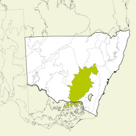
Map showing the South Western Slopes bioregion
Parks, reserves and conservation areas
This bioregion includes:
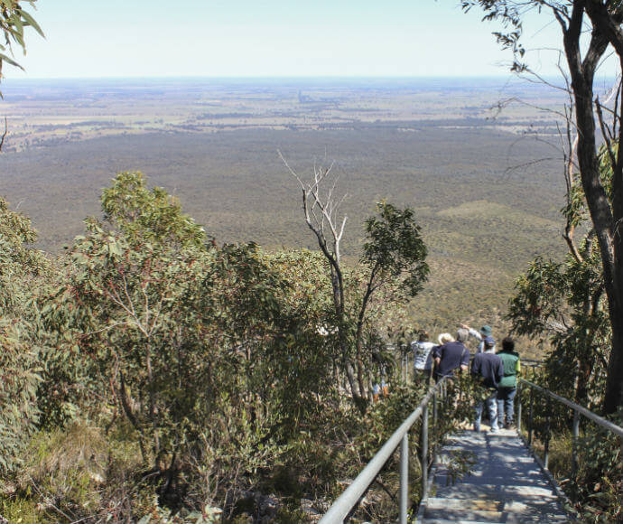
Bushwalkers, Goobang National Park 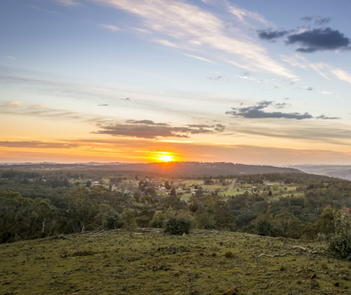
View over Hill End Historic Site from Bald Hill lookout 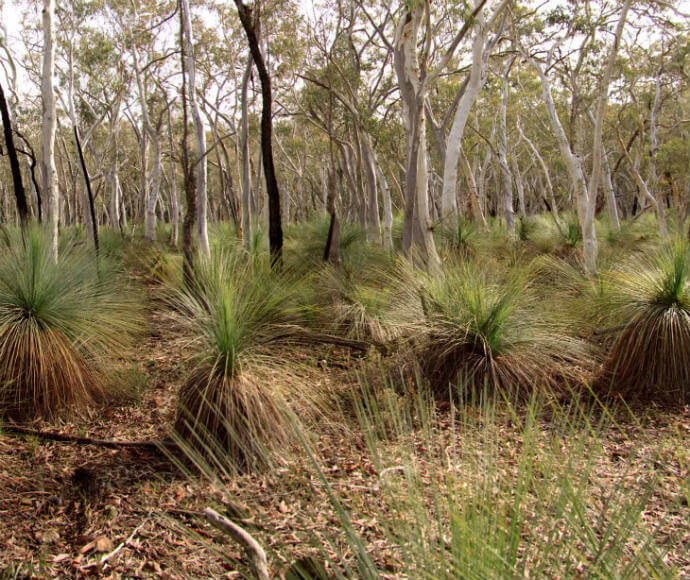
Livingstone National Park, Grass Tree trail 
Weddin Mountains National Park 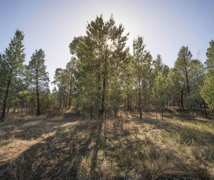
White cypress pine trees (Callitris glaucophylla), Pomingalarna Reserve, Wagga Wagga 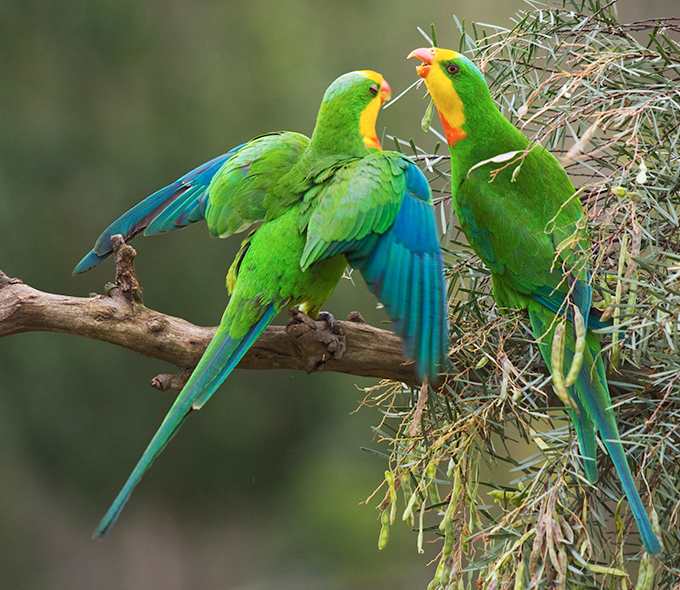
Superb parrot (Polytelis swainsonii)